Drive the Cabot Trail
Our guests often make Waves End their home base as they enjoy all that Cape Breton has to offer whether it be eating, hiking, golfing, kayaking or driving the Cabot Trail
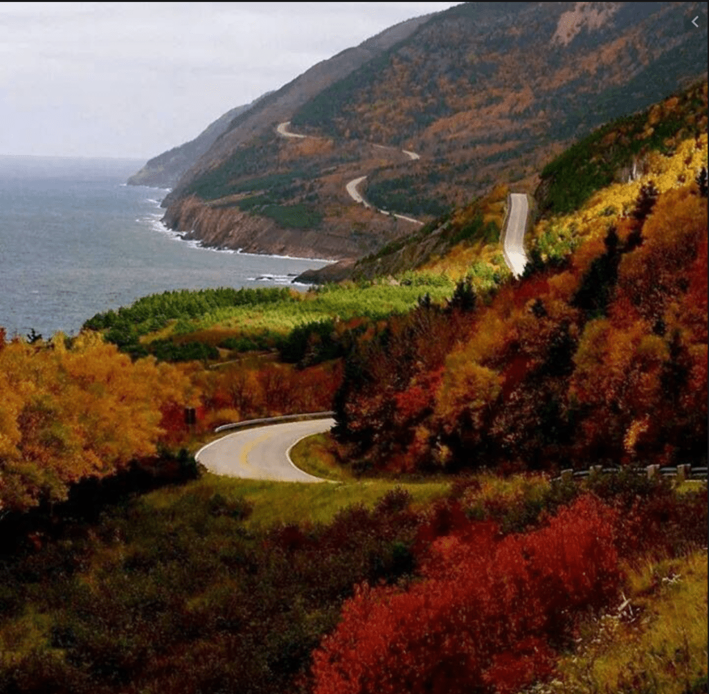
Drive the Cabot Trail
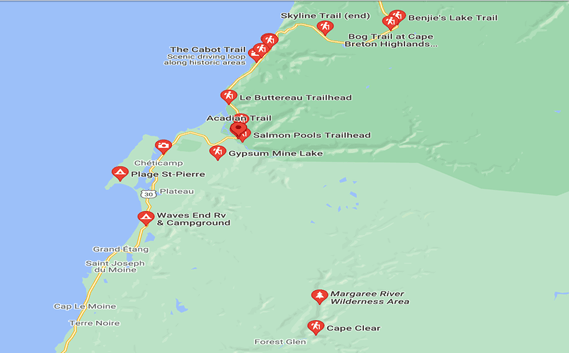
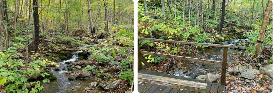
Hiking Trail Locations
There are many hiking trails in close proximity to Waves End
Franey – 118 km, 1hr 42 min from Waves End
Distance (Loop) 7.4 km, Elevation 95-430m, Time 2-3 hours, Difficult hike
Trailhead: Turn off the Cabot Trail just north of the Clyburn River and follow the fire access road for about a kilometer to a small parking lot.
Lat: 46.660766 Long: -60.422683
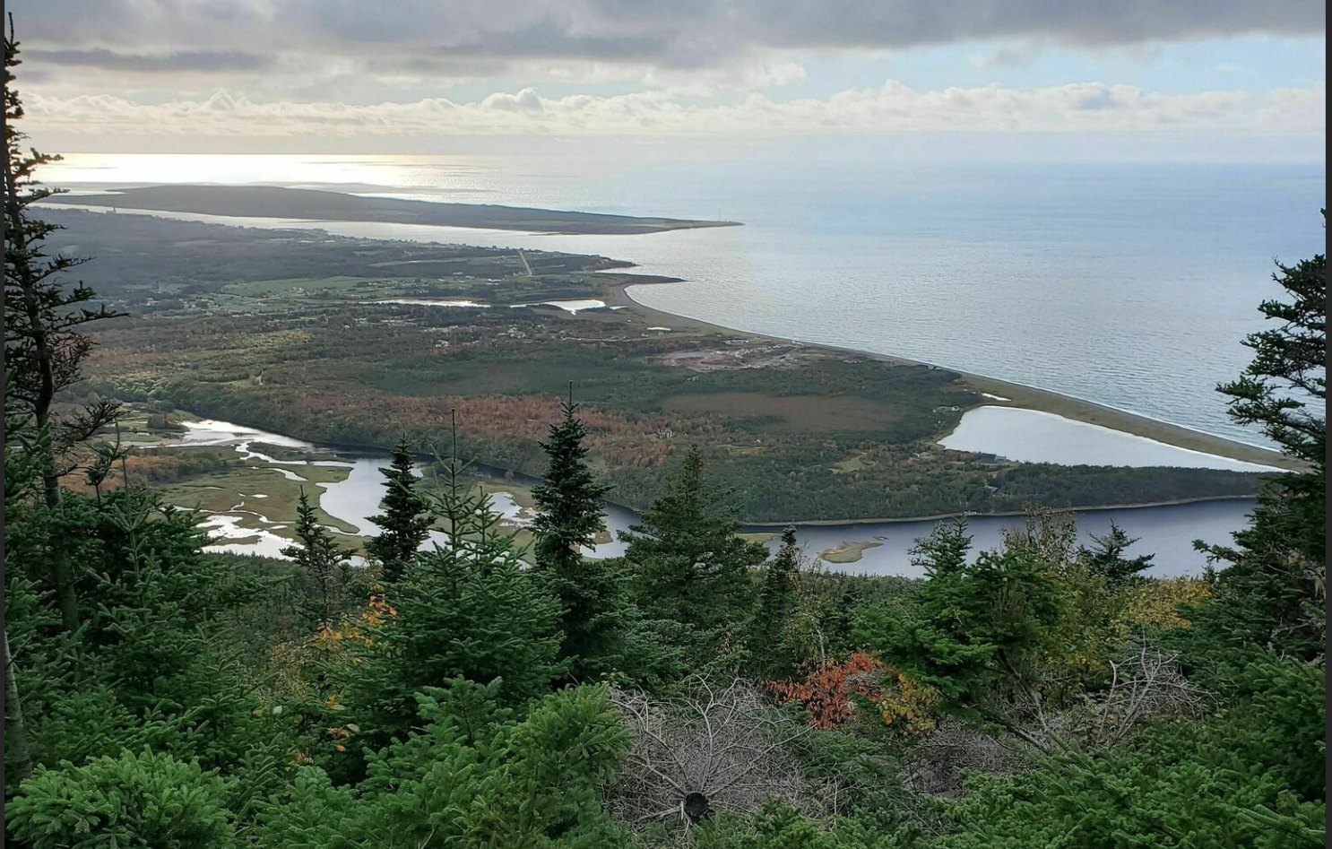
You climb up and up and your reward is at the top! Large flat rocks give you a nice place to sit and enjoy the 360º views of the entire Clyburn Brook canyon and the Atlantic coastline from Cape Smokey to Ingonish. Gaze back at the mountains, the sheer rocky face of Franey Mountain, or the river winding through the valley, 425 m below. Keep an eye out for wildlife – moose like this habitat too.
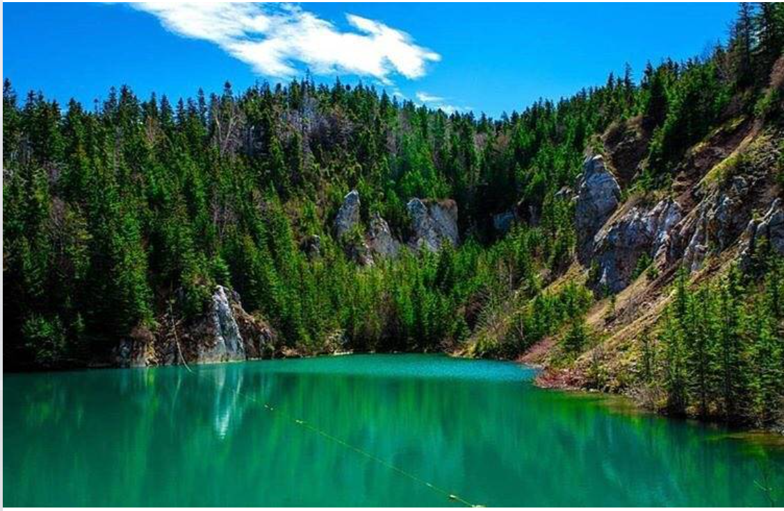
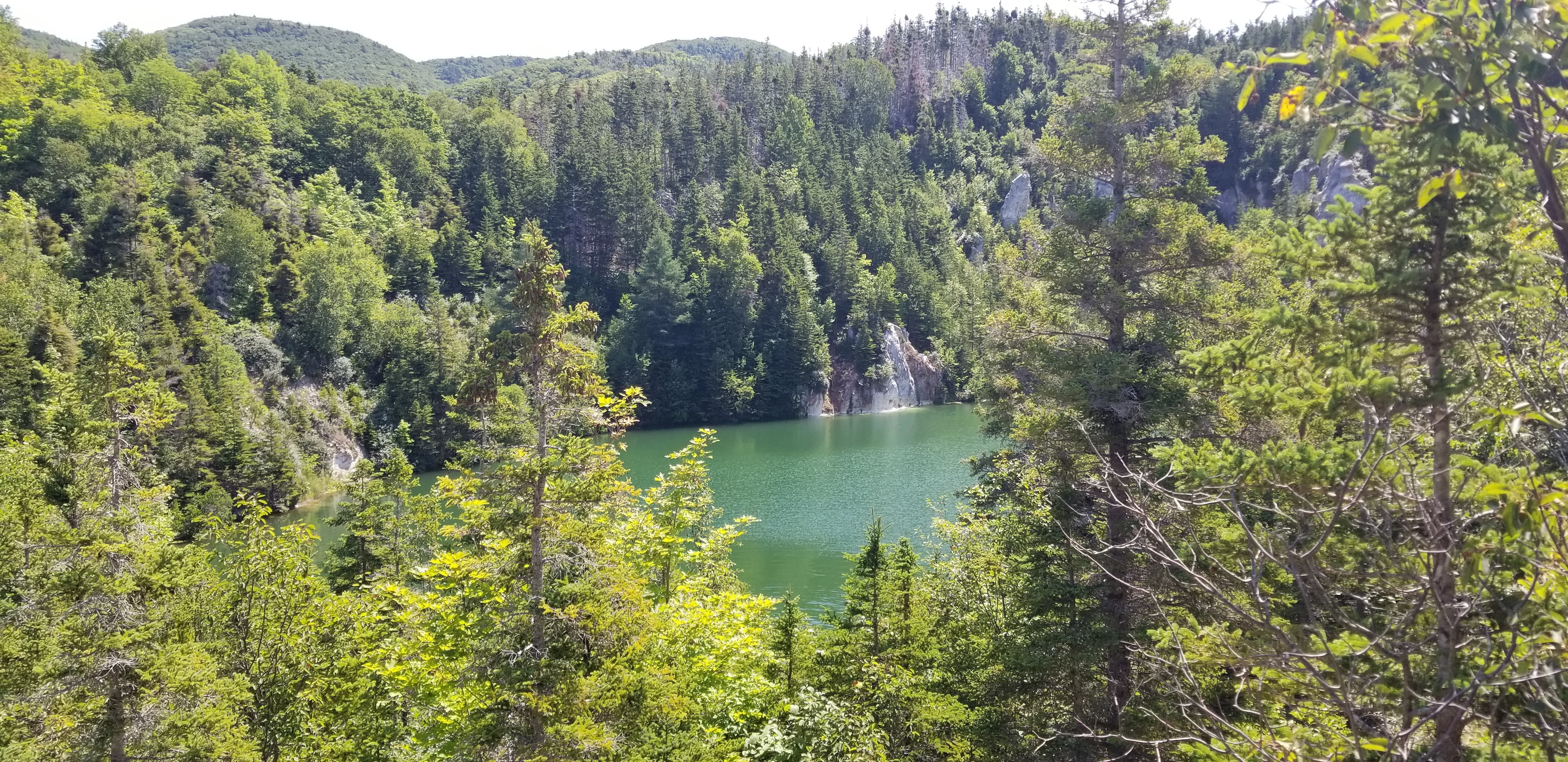
Gypsum Mine Lake – 10 km, 14 min from Waves End
Distance (return) 2.6 km, good for all skill levels. At the top of the ridge, you go in between two small hills and into the secret swimming spot.
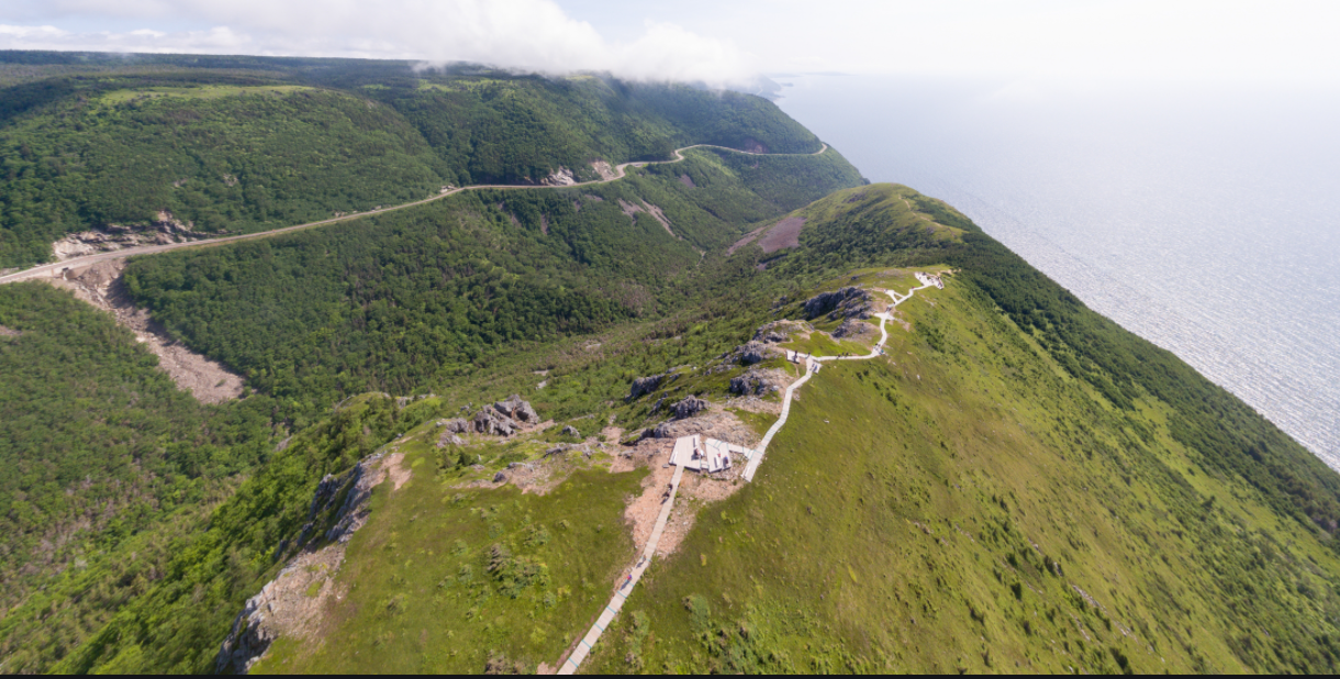
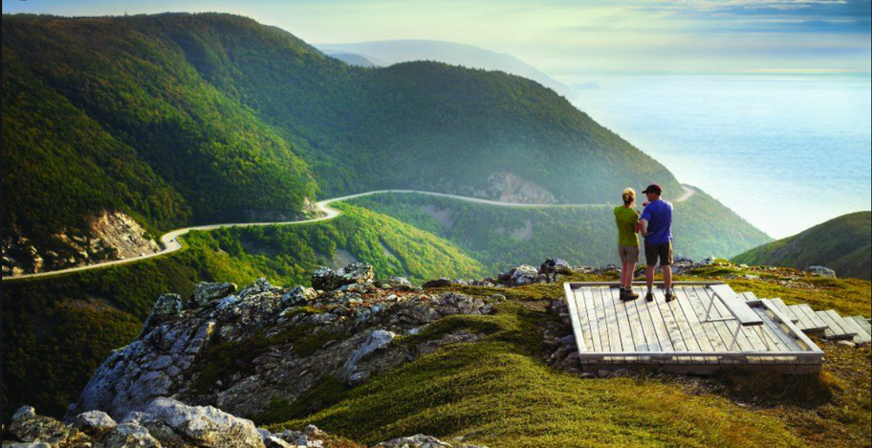

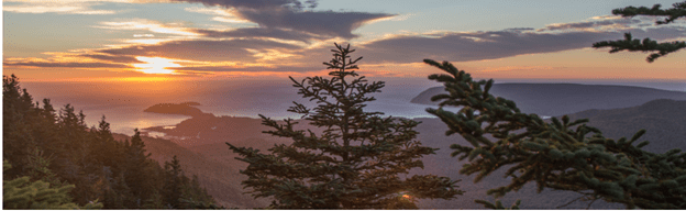
Skyline Trail -27.5 km, 26 min from Waves End
Distance (Loop)8.2 km (return) 6.5 km, Elevation 290-405 m, Time 2– 3 Hours, Easy hike
A dramatic headland cliff overlooks the rugged coast from the end of this level trail. You can enjoy an eagle’s view of the Cabot Trail as it winds its way down the mountain – vehicles look like toys. Watch for whales in the Gulf of St. Lawrence from the viewing decks. Moose, bald eagles, bears and numerous boreal birds live in this habitat. Be cautious with children around the cliffs and give moose a wide berth. The headland plants are very fragile and easily damaged by trampling, so stay on the boardwalk. Dogs are not permitted here as they disturb wildlife, especially moose and bear.
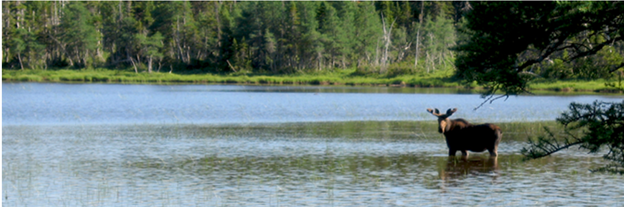
Benjie’s Lake – 33 km, 28 min from Waves End
Distance (return) 3km, Elevation 400m, Time 1-1.5 hours, Easy Hike
On the plateau at the top of the mountain, this trail crosses wet barrens and evergreen forests typical of the highlands, ending at a small lake. Boardwalks in some sections keep you dry and protect the habitat from trampling. Moose are frequently seen as well as a variety of northern birds.
Trailhead; On the Cabot Trail at the top of French Mountain
Lat: 46.747348 Long: -60.821458

Acadian Trail – 12.4 km, 12 min from Waves End
Distance ( Loop) 8.4 km, Time 3-4 hours, Elevation 20-365 m, Trail Features: Steep inclines, rugged sections, stream crossings RATING 4.8
The trail climbs through mature Acadian Forest to a mountain ridge overlooking the Gulf of St. Lawrence, the immense highland plateau, and the steep sided Cheticamp River Canyon. Acadian settlers lived in this area until 1930’s
Food


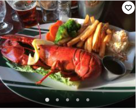
Local Restaurants – 7 Km from Waves End
- L’abri
- Doryman Pub & Grill
- Harbour Restaurant & Bar
- Seafood Stop
- Wabo’s Pizza
- Le Gabriel Restaurant & Lounge
- Mr. Chicken
- Restaurant Evangeline
Kayaking, Canoeing, Paddle Boarding & Mountain Biking
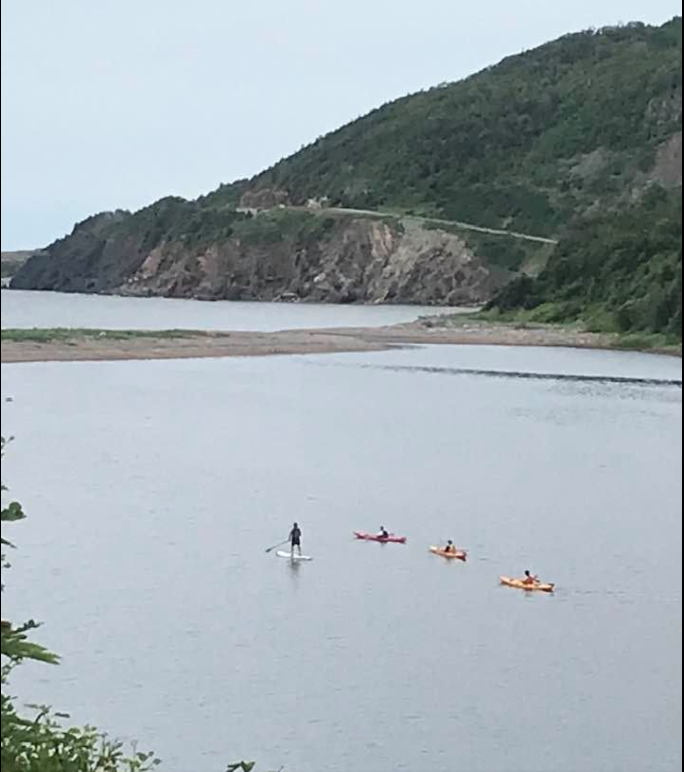
Riverside Paddle Sports- They have kayaks, paddle boards and canoes for rent.
Instruction and guiding is available. Located at 364 Bourgeois Road, Cheticamp
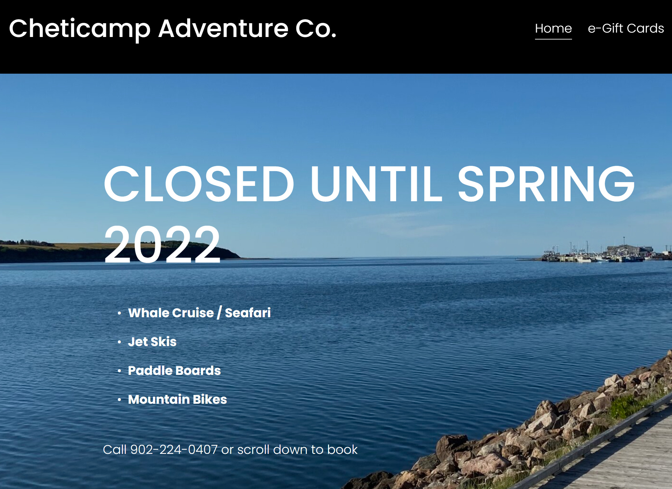
Cheticamp Adventure Company – Jets Skis, Paddle Boards, Mountain Bikes, Whale Cruises. Located at 19 Muise Road, Cheticamp
Whale Watching

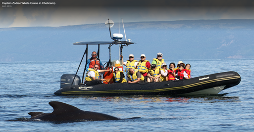
Whale Watching
Captain Zodiac Whale Cruise
7 km, 10 min from Waves End
Finback Whales, Pilot Whales, Minke Whales, Humpback Whales, Atlantic White-sided Dolphins
Policy: If no whales seen, customers get a no questions asked full refund
Cheticamp Adventure Company – 10 min from Waves End
Golfing
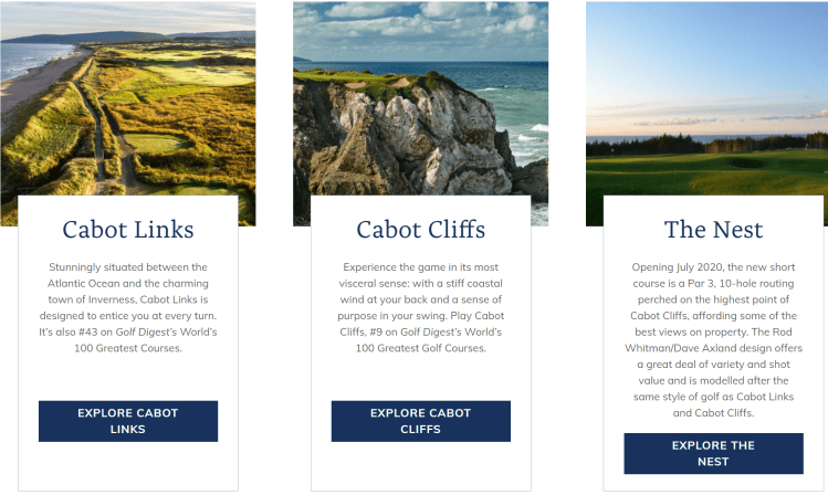
Play World and Canadian ranked golf courses 35 minutes away
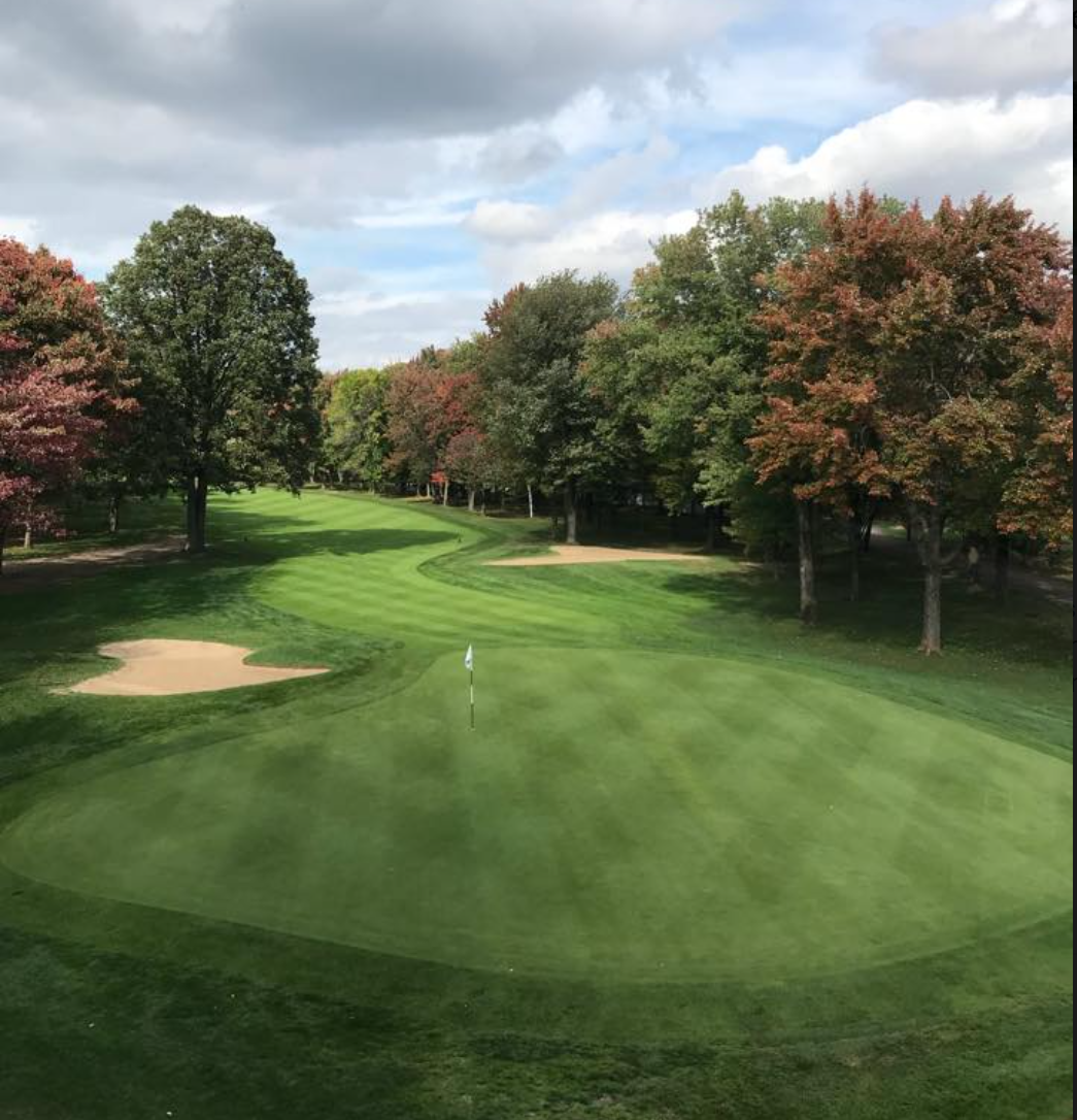
Play in Cheticamp just 10 minutes from Waves End
